Phila.gov/map is the home of the City of Philadelphia’s new mapping website which brings together much of the City’s spatial data. This site, launched in August of 2012, features datasets from numerous departments, including Licenses and Inspections, Planning, Streets, Water, Police and Parks and Recreation.
The Office of Innovation and Technology’s GIS Services Group is very excited to announce the addition of 4 new datasets on Phila.gov/map.
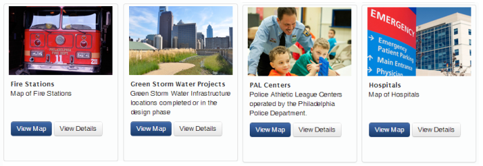
Thanks to collaborative efforts between departments and the GIS Services Group: Police, Watersheds and Fire Department data has been added to Phila.gov/map.
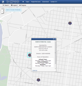
The newly added Police Activity League Centers dataset includes the location, director, hours of operation and additional information about each PAL Center in the City.
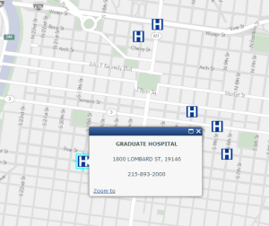
The new Hospitals dataset contains the location and phone number of each hospital and emergency care center in the City.
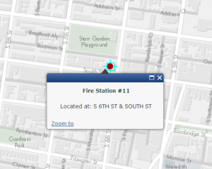
The new Fire Station dataset includes the location and station number of every fire station facility in the City including marine and airport units.
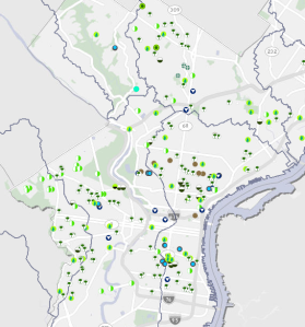
Lastly, the new Green Storm Water Infrastructure Projects map includes 258 innovative projects featuring green infrastructure such as Rain Gardens, Storm water Tree Trenches, Pervious Paving, Swales and more! This fantastic dataset is compiled and maintained by the Philadelphia Water Department’s Watersheds GIS team. The watershed of each project is also included!
A big thanks to departments that own and maintain these datasets for their interest and collaboration in making this data available to the public.
More datasets are being added frequently to phila.gov/map.

If some one wishes expert view concerning blogging and site-building afterward i suggest him/her to pay a visit
this website, Keep up the fastidious work.
seiko 3rdダイバー
excellent points altogether, you just gained a new reader.
What may you suggest about your publish that you made some days in the past?
Any sure?